
About Survlution Kenya Limited
Accurate Land Surveys Kenya
Land Surveying Services Kenya – Welcome to Survlution Kenya Limited, a premier land survey company dedicated to delivering accurate, reliable and innovative surveying solutions across Kenya and beyond. With a strong foundation in technology, experience, and integrity, we help individuals, businesses, developers and government agencies make informed decisions based on precise land data.

Affordable Pricing
We provide top-tier results delivered at competitive, fair rates.

Expert Team
Our team is experienced and committed to accuracy and excellence daily.
We provide dependable, high-accuracy land survey services backed by expert knowledge, advanced technology and a strong commitment to quality. From boundary demarcation to geospatial analysis, we partner with clients to deliver data-driven solutions that support informed planning, development and compliance—on time, every time.
About Survlution Kenya
Your Trusted Partner in Precision Land Surveying
Welcome to Survlution Kenya Limited, a premier land survey company dedicated to delivering accurate, reliable and innovative surveying solutions across Kenya and beyond. With a strong foundation in technology, experience, and integrity, we help individuals, businesses, developers and government agencies make informed decisions based on precise land data.

Affordable Pricing
We provide top-tier results delivered at competitive, fair rates.

Expert Team
We bring skilled professionals with unmatched surveying expertise.
Our certification is not just a badge — it’s a guarantee that every survey we conduct meets national regulatory requirements and is handled by qualified experts dedicated to accuracy, transparency, and client satisfaction.
Our Core Values

Our Mission
To provide accurate, reliable and affordable geospatial solutions that help clients make informed land and development decisions.

Vision
Our vision is to become Kenya’s leading provider of innovative, accurate, and affordable geospatial solutions that set the standard for excellence in the industry.

Precision
We are committed to delivering highly accurate and detailed spatial data, ensuring every project is guided by precision from start to finish.


Professionalism
We conduct our work with utmost professionalism, ensuring reliability, respect and excellence in every client interaction and project execution.

Integrity
We uphold the highest standards of honesty, transparency, and ethical conduct in all our operations and relationships.

Collaboration
We believe in the power of teamwork, working closely with clients and partners to achieve shared goals and successful outcomes.
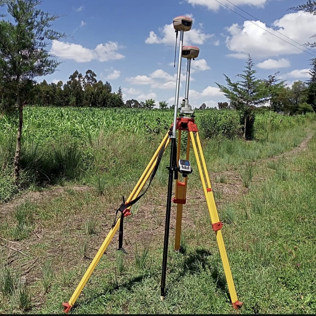
Cadastral Surveys
We accurately define property boundaries, support title processing, and ensure legal land documentation—using modern equipment, certified expertise, and a client-focused approach.
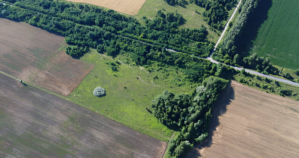
Digital Mapping
We create detailed, high-resolution maps using advanced GIS technology, enabling precise spatial analysis, efficient planning, and informed decision-making for diverse land management needs.

Engineering Support
We provide accurate layout, leveling, and alignment data essential for construction, ensuring structural integrity, project efficiency, and compliance with engineering and regulatory standards.

Topographical Surveys
Using advanced tools, we capture detailed terrain features, elevations, and surfaces to provide accurate, reliable site data that supports informed planning, design, and construction decisions throughout your project.

Amalgamation Planning
We assist in merging adjacent land parcels, ensuring regulatory compliance, accurate boundary adjustment, and smooth documentation for streamlined development, investment, or ownership consolidation processes.

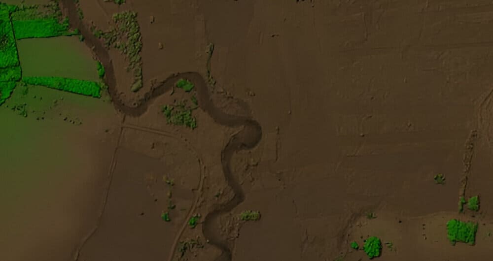
Spatial Data Analysis
We interpret geographic data to reveal patterns and insights—empowering smarter decisions in planning, development, infrastructure, land management and environmental monitoring across all sectors.
Why Choose Us
We Provide Reliable, Precise and Affordable Solutions You Can Trust
We combine technical expertise, modern technology, and a client-first approach to deliver dependable geospatial solutions. Our team is dedicated to precision, integrity, and professionalism—ensuring every project is completed on time, within budget, and to the highest standard. Whether you're planning, building, or investing, we provide the accurate data and support you need to move forward with confidence
- Unmatched Accuracy
- Experienced Professionals
- Client-Focused Approach
- Fast Turnaround Times
- Wide Industry Coverage
- Ethical Standards