

Insights
Land surveying guides and GIS insights
Practical advice for land buyers, owners and developers, and updates on the technology changing how land is mapped in Kenya.

 Guides
· 6 min read
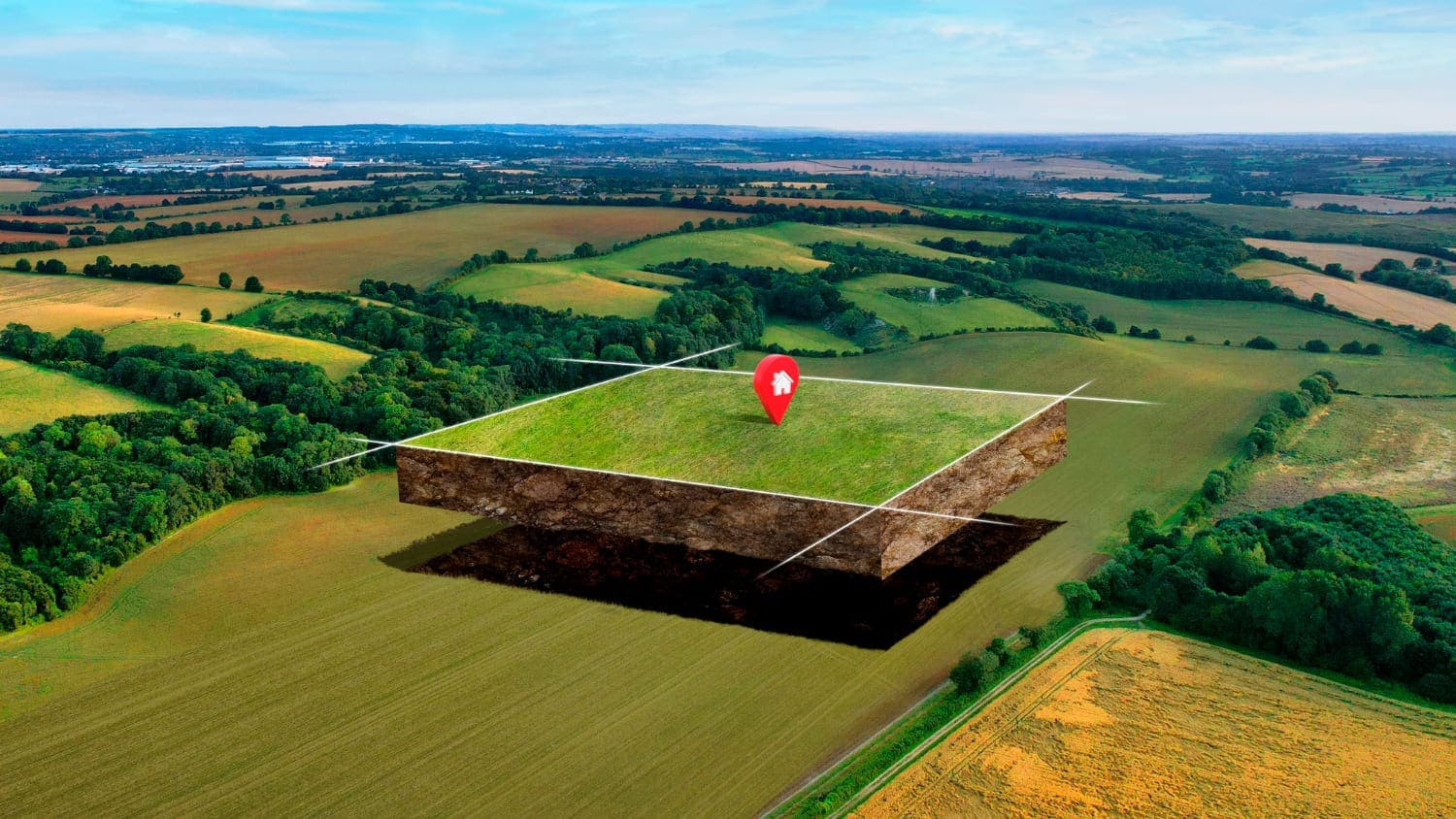
Buying Land in Kenya: A Surveyor's 8-Step Checklist
Planning to buy a plot in Kajiado, Kitengela or anywhere in Kenya? Follow this 8-step due-diligence checklist from licensed surveyors before you pay a deposit.
Read articleTrends· 5 min read
Emerging GIS Trends Shaping Land Surveying
AI, drones, cloud GIS, real-time data, mobile apps and 3D mapping: the GIS trends changing how land is surveyed, planned and managed in Kenya.
Read article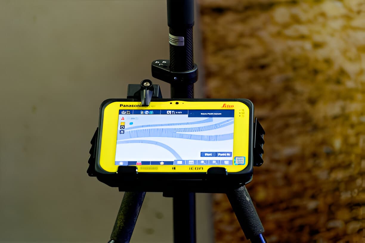 Trends
· 4 min read
Real-Time Mapping: Faster Decisions on Site
How real-time mapping with RTK GNSS, mobile GIS and drones helps surveyors, engineers and developers make faster, more accurate decisions on site.
Read article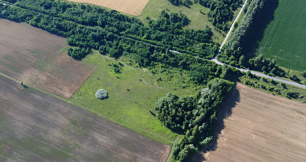 Mapping
· 4 min read
Sustainable Land Mapping With GIS
How GIS-powered sustainable land mapping helps Kenya balance development with conservation: benefits, applications, tools and challenges.
Read article Trends
· 4 min read
5 Benefits of Using Mobile GIS Tools in the Field
Mobile GIS tools bring desktop mapping into the field. Here are 5 benefits, common uses and the most popular apps for surveyors and field teams.
Read articleReady to get your land surveyed?
Tell us where the land is and what you need. We'll reply quickly with clear advice and a quote.