Overview
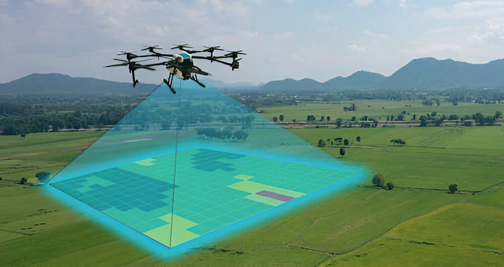
Geographic Information Systems (GIS) turn location data into maps and insights you can act on. We capture data with drones and ground surveys, organise it in GIS, and present it as clear maps, reports and dashboards.
Our GIS and mapping work supports county and urban planning, agriculture, utilities, real estate, environmental monitoring and asset management.
When you need it
- Mapping large land holdings, farms or estates
- Planning and monitoring developments and infrastructure
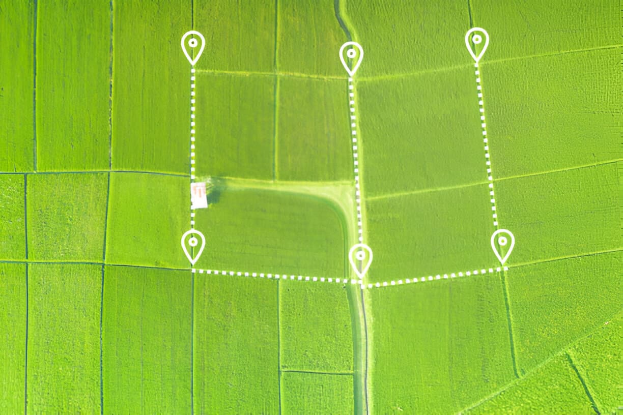
- Creating land and asset registers in GIS
- Environmental, flood-risk and land-use studies
- Progress monitoring on construction projects
What you get
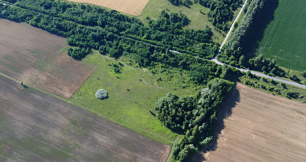
- Drone orthophotos and high-resolution aerial maps
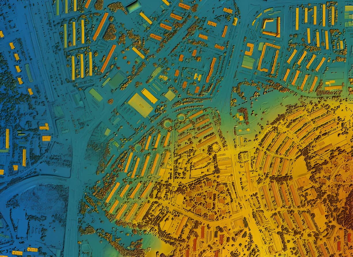
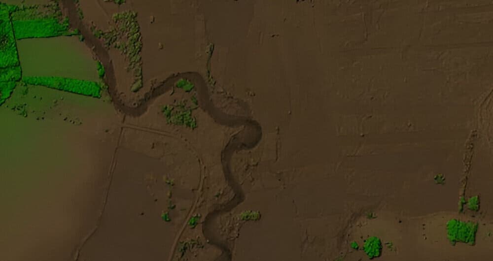
- Digital surface and terrain models
- GIS databases (Shapefile, GeoPackage, KML)
- Thematic maps, spatial analysis and reports
- Interactive web maps and dashboards on request
Our process
- 1
Requirements
We agree what decisions the maps and data need to support.
- 2
Data capture
We capture data with drone flights, ground survey and existing datasets.
- 3
Processing & analysis
We process imagery, build the GIS and run the analysis.
- 4
Delivery
You receive maps, data and reports in the formats your team uses.
Frequently asked questions
What file formats do you deliver GIS data in?
Common formats include Shapefile, GeoPackage, KML/KMZ, GeoTIFF, DWG/DXF and PDF maps. Tell us your software (ArcGIS, QGIS, AutoCAD, Google Earth) and we'll match it.
How big an area can you map with a drone?
From a single plot to several hundred acres. For very large areas we plan multiple flights and combine them into one seamless map.